Friday Evening in Dallas–Fort Worth: the Gray Day Breaks Open at 71, and Saturday Cools to 63
The station feed's 5 p.m. read is 70.6 degrees and mainly clear — the brightest sky of the day. The change in the file is the weekend: Saturday's high has dropped to 62.6, and Sunday morning falls to 48.9.
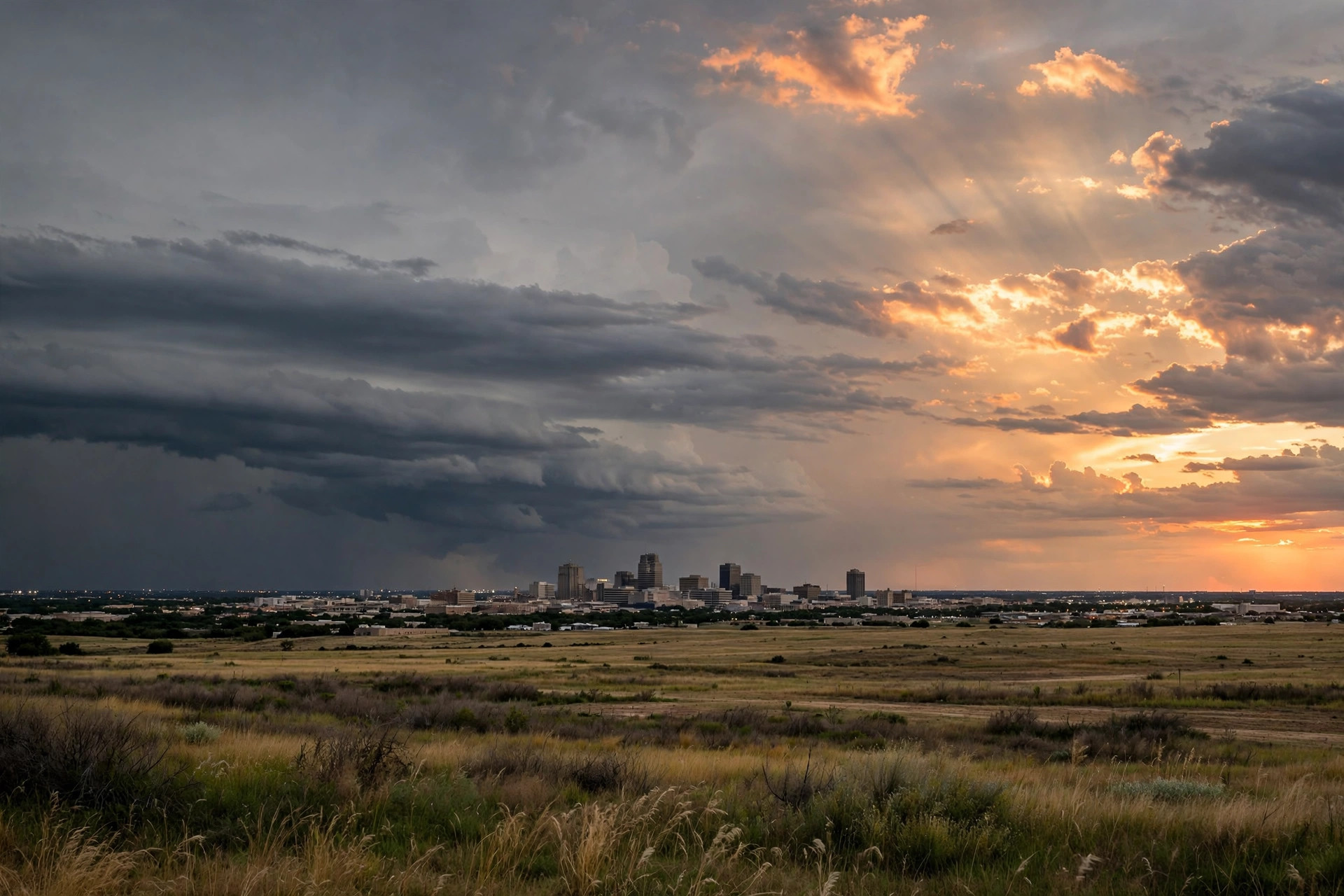
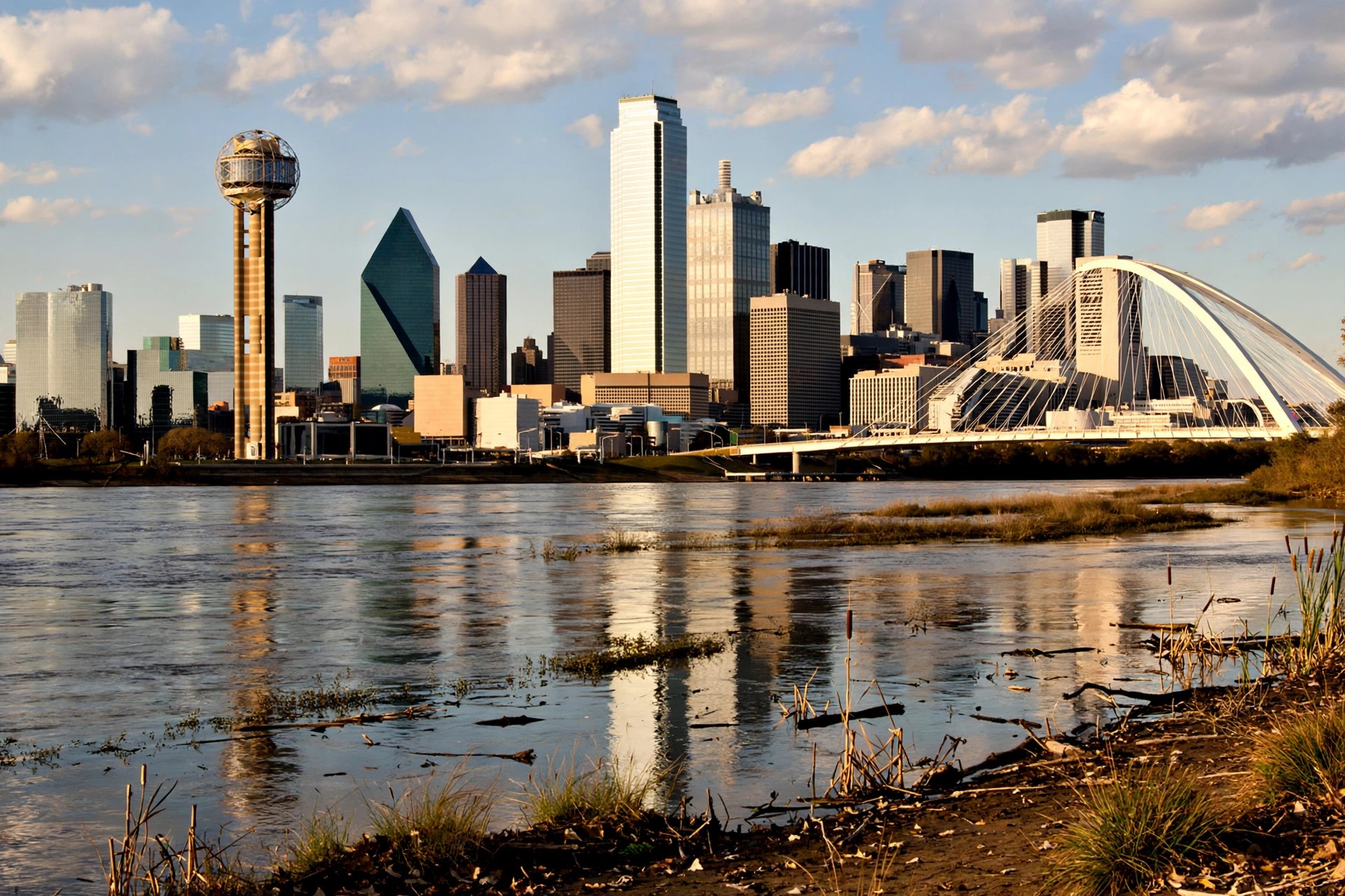
The Metroplex's gray Friday ended brighter than it lived. The station's weather feed, read live for the 17:00 file, puts Dallas–Fort Worth at 70.6 degrees, feeling like 69.2, under a mainly clear sky — code 1, two steps brighter than the code 3 overcast that held from the 5 a.m. file through midday. Friday's high settled at 73.5, up from the midday file's 72.4, with the day's precipitation chance at 2 percent and the evening running dry for the Greek Food Festival's opening night, the SMU and Mavericks crowds, and everyone driving home through the PM peak.

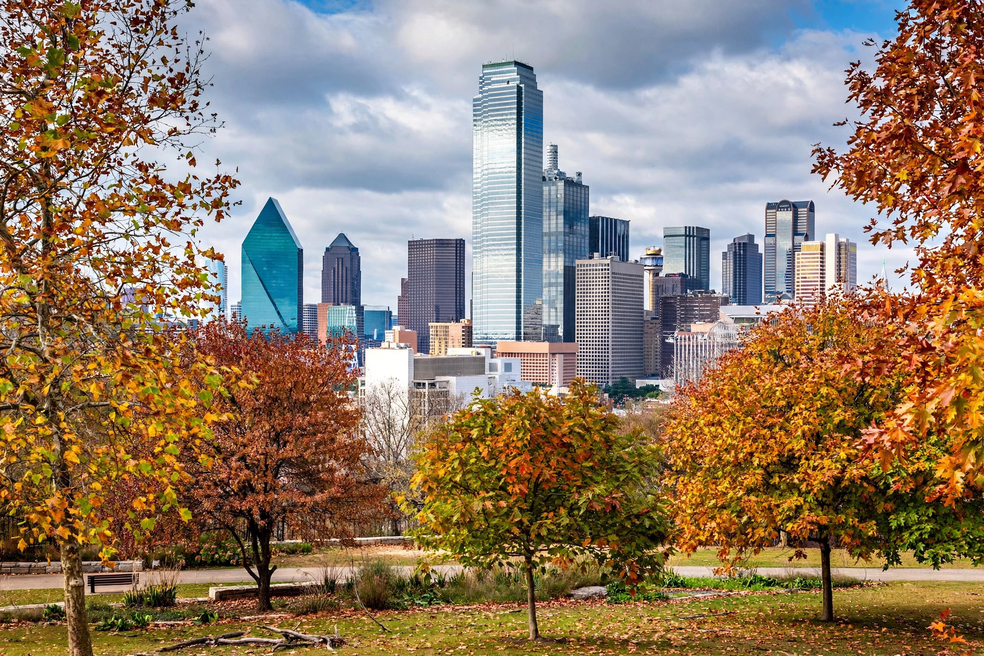
The weekend is where the feed actually changed. Saturday now tops out at 62.6 — a full five and a half degrees cooler than the 68.1 the midday file carried — after a morning low of 53.6, still under overcast code 3 with an 8 percent precipitation chance. Sunday recovers to 71.2 but starts at 48.9, the coldest morning in the seven-day run, and carries an 18 percent precipitation chance, the highest figure on the board and still short of a rain call. The Cowgirl Museum's reopening weekend in Fort Worth, Saturday's Decision Day in Frisco and Sunday's Trinity FC match at the Cotton Bowl all plan around cool and gray, not wet, on the current feed.
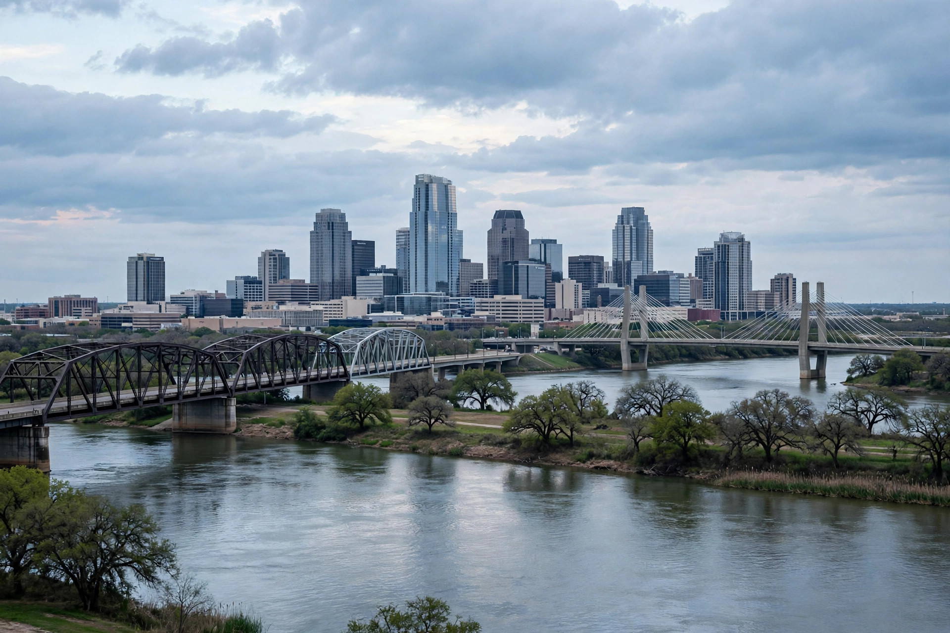
Next week warms straight back up under the same overcast code: Monday 75.3 and 61.7, Tuesday 78.4 and 64.9, Wednesday 78.6 and 66.6, and Thursday 76.4 and 56.9, with precipitation chances peaking at 12 percent on Monday and Tuesday. The pattern is a one-day cool dip, not a front with weather attached to it. The Weather Desk's next scheduled file is Saturday morning; any severe-weather turn would be signed by the Chief Meteorologist under the desk's standing rule.