Monday PM in Dallas–Fort Worth: 69.6 and Nearly Topped Out, Tuesday's Rain Chance Peaks at 21 Percent, and Wednesday Turns Foggy
The feed's fourth move of the day cut Monday's high to 70.3, pushed Tuesday's rain signal to its highest reading yet — and put fog, not clear sky, on Veterans Day morning.
Monday is finishing about as advertised, a degree cooler than the early-afternoon file promised. Dallas–Fort Worth stood at 69.6 degrees under partly cloudy skies (feels like 70.6) when the station's weather feed was read live Monday afternoon — already within a degree of the day's revised high of 70.3, with the low at 56.5 and the precipitation chance at 5 percent. It is the fourth trimming of Monday's number in one day, and the day itself never argued with any of them: dry, bright and mild from dawn to dusk.

Tuesday's rain chance, the day's running argument, has swung a fourth time — upward. The afternoon feed puts it at 21 percent, the highest reading of the day, on a high of 75.6 (down from 76.4) with a low of 60, still coded partly cloudy. One-in-five is not a washout signal, but the direction matters: the morning's wet reading, walked back twice by midday, has now been substantially restored. Tuesday evening's outdoor plans should wait for tonight's and the morning files before they are set in ink.
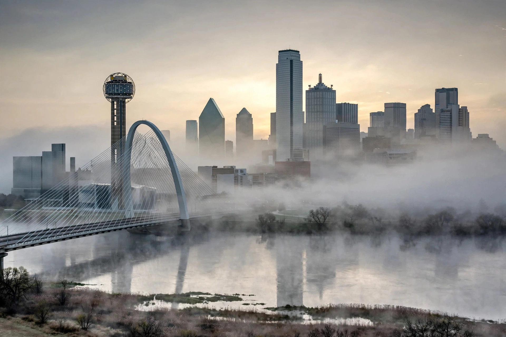
Wednesday is the day's real change. Veterans Day still tops out at 79.6 — parade-warm on every reading — but the feed's code has moved from mainly clear to fog (code 45), the overnight low has dropped from 60 to 57.1, and a 3 percent precipitation chance has appeared where there was zero. Read plainly: a foggy Wednesday morning is now the signal, burning toward a warm afternoon — early parade staging and morning drivers should plan for low visibility before the warm-up. The rest of the week held: Thursday clear at 72, Friday partly cloudy at 74.6, Saturday light drizzle at 75.8 with the chance up a notch to 4 percent, and Sunday drizzle cooler at 66.7 with a 16 percent chance. No severe weather is signaled anywhere in the seven days.