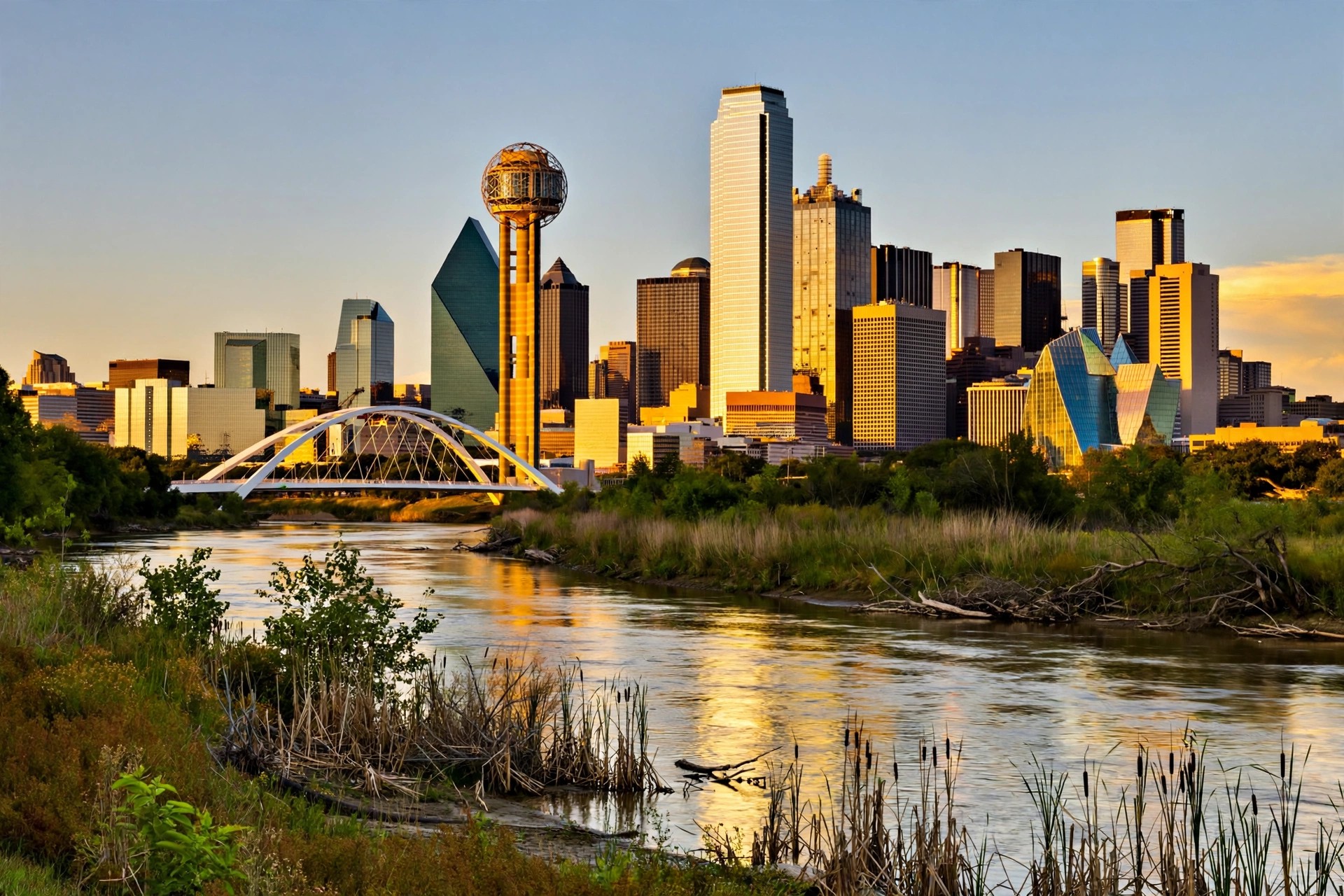
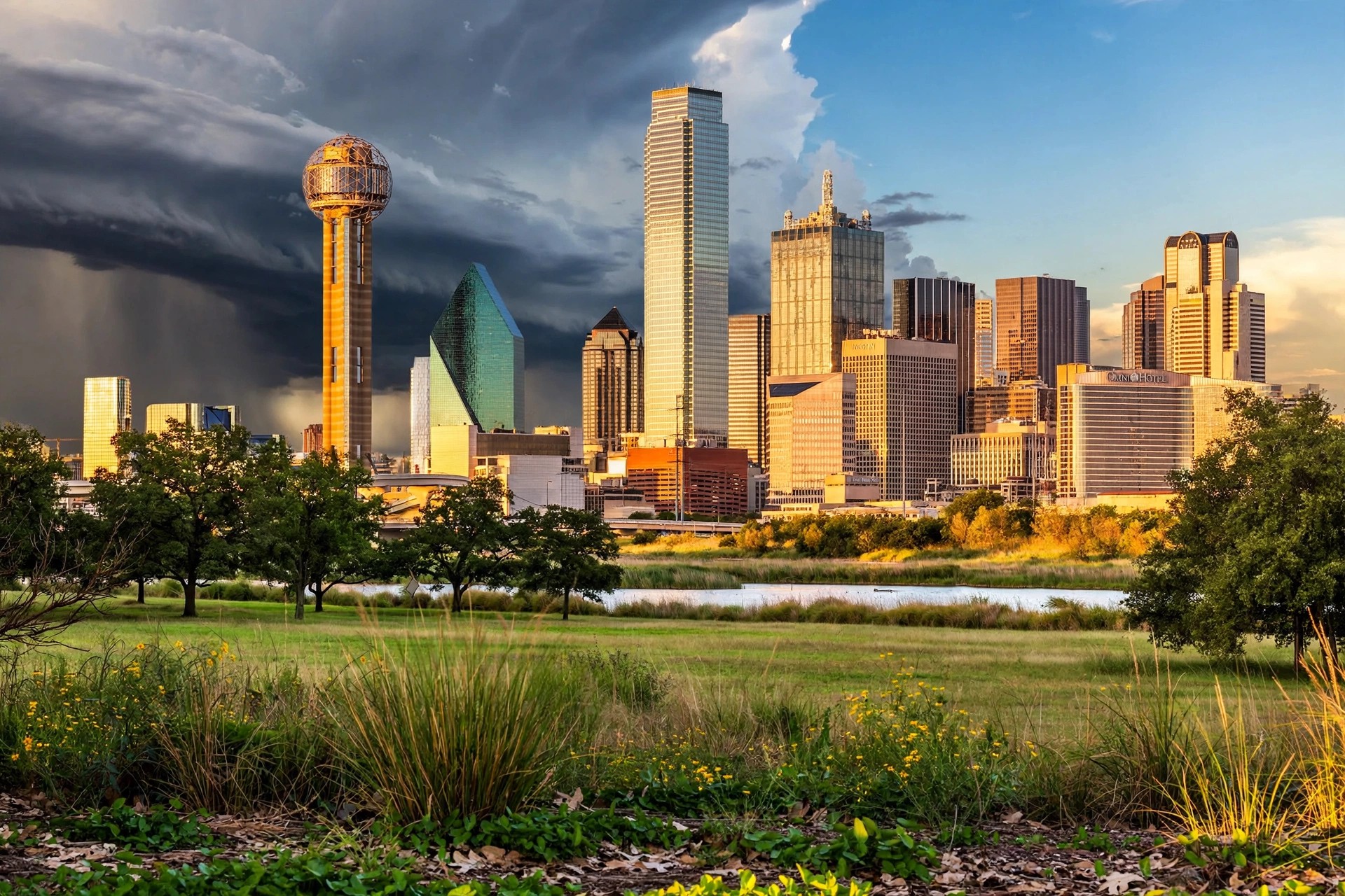
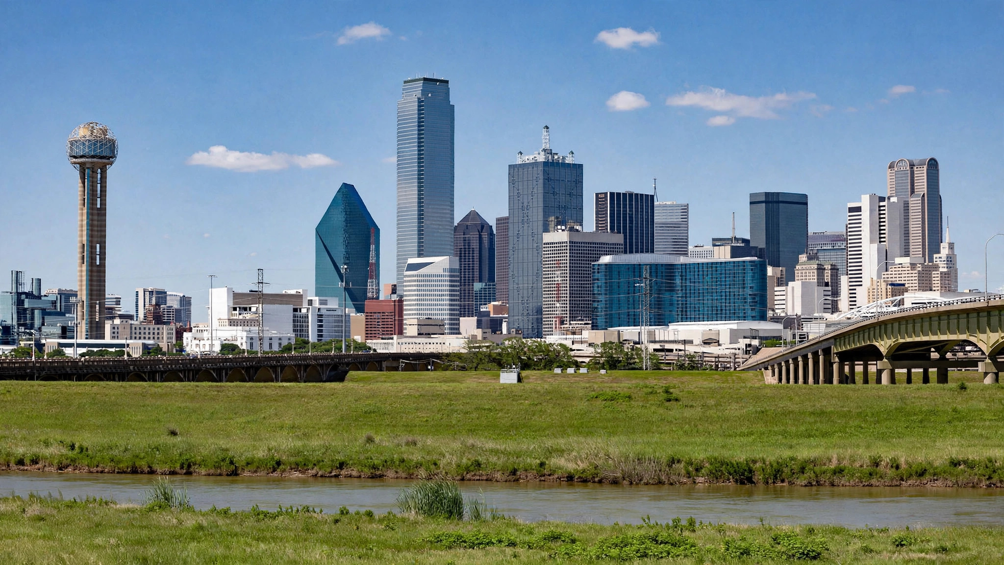
Dallas at 58 and Clear Overnight — Thursday Tops Out at 77 Before Sunday's Rain
The Metroplex is in the quiet part of the week: 58.4 degrees under a clear sky in the small hours of Thursday, feeling like 56, on the way to a sunny 76.8 this afternoon. Friday turns gray and colder, and Sunday is still the one wet day in the feed — rain at a 71% chance, with a cooler, drizzly Monday now behind it.
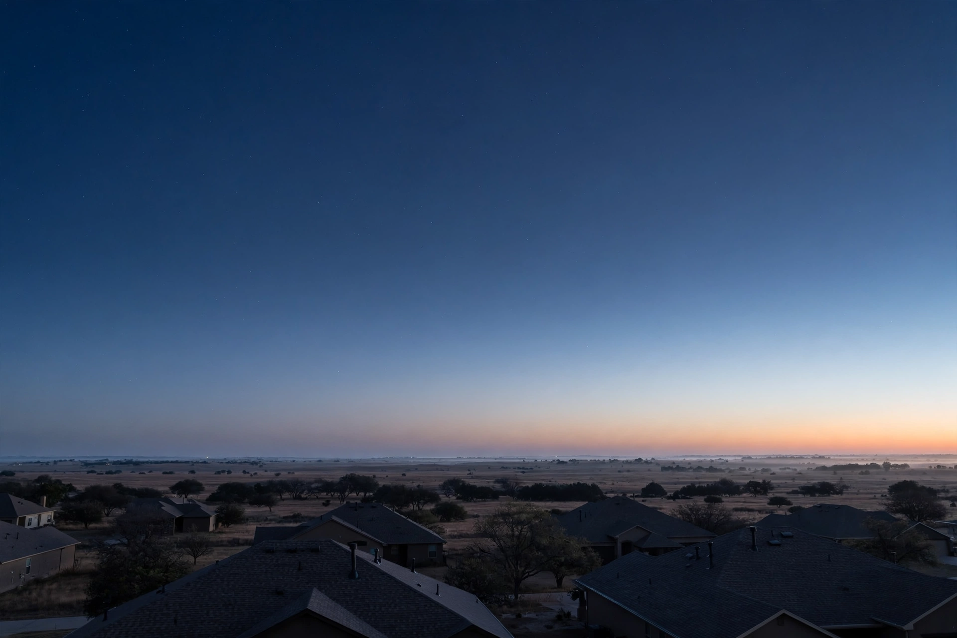
DALLAS — Wednesday's warmth is draining away under a clear sky. The station's weather feed read 58.4 degrees (code 0, clear) in the early hours of Thursday, feeling like 56, headed for the overnight low of 52.4 with a precipitation chance of zero — a dry, still night across Dallas–Fort Worth, and the last fully quiet stretch in the seven-day feed.

Thursday is the week's best day and the feed has not wavered on it: clear again (code 0), a high of 76.8, a low of 52.4 and no rain chance at all. Friday turns overcast (code 3) and noticeably cooler — a high of 67.4 and a low of 49.3, the coldest morning in the feed — and Saturday stays cloudy at 64.9 with the rain chance edging up to 22%, the front edge of the weekend system.
Sunday remains the day to plan around: code 53 rain, a high of only 60.2, a low of 52.5 and a 71% precipitation chance, by far the strongest signal in the feed. What changed overnight is what follows it — Monday now reads as a cooler, drizzly tail (code 51, a high of just 54.9, a low of 50.3 and a 29% rain chance) rather than a quick clear-out. Tuesday recovers under cloud at 61.8 with a 1% rain chance, and Wednesday warms back to 70.3.
The shape of the week from tonight's feed: use Thursday, dress for a colder Friday morning, and keep Sunday — and now Monday morning — under cover. The feed updates continuously; the Weather Desk's next scheduled file is the 05:00 morning file, and any material change to Sunday's rain chance or Monday's cool-down will lead it.