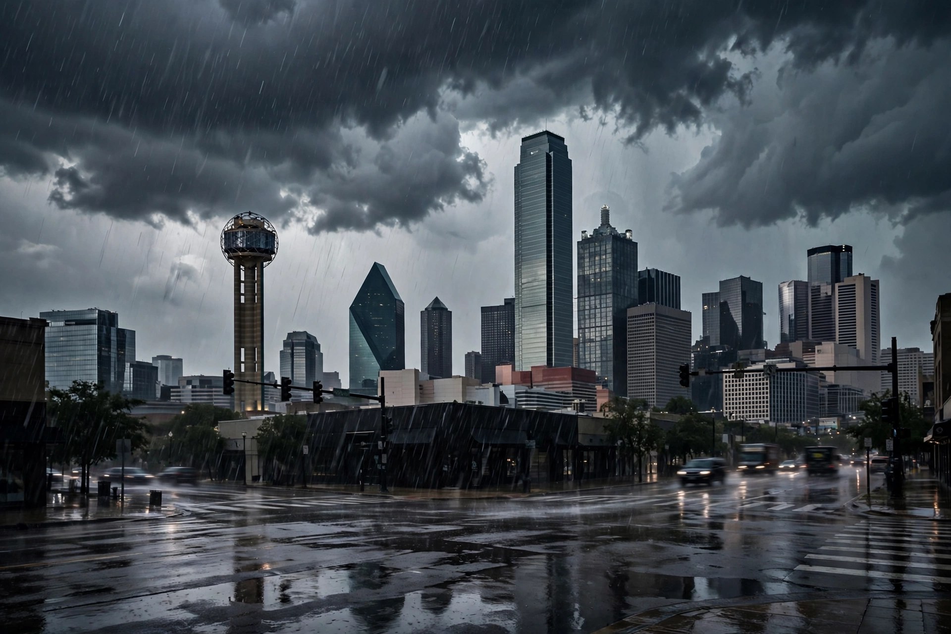
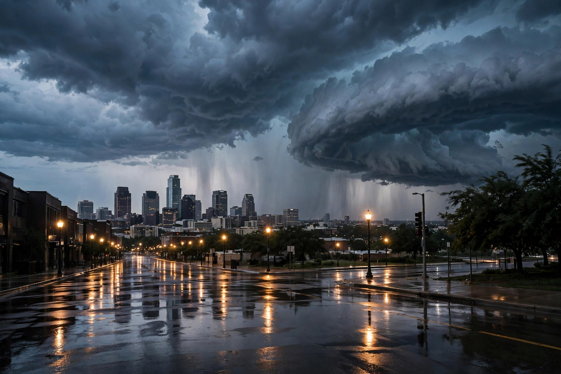
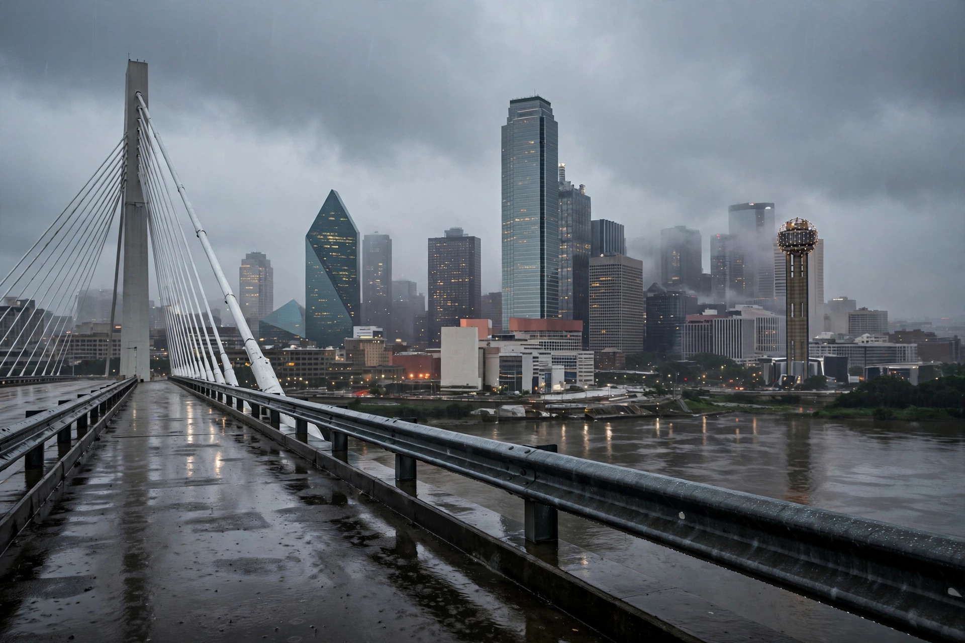
The Southwest Flood System Pushes East: Severe Storms Target Dallas–Fort Worth Monday Afternoon Into the Night
The storm that flooded the Southwest is moving into the Plains on Monday, and the national forecasters now put Dallas–Fort Worth in the day's highest severe threat — damaging winds first, with tornadoes possible.
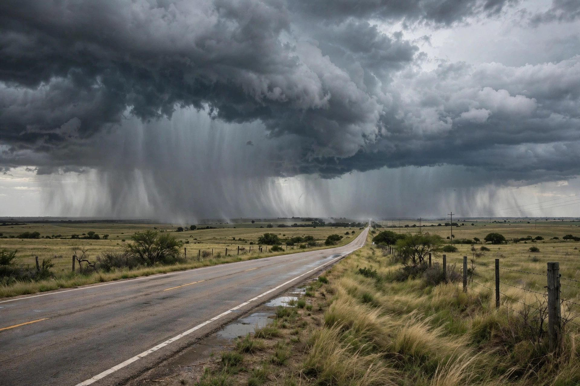
The storm system that caused historic flooding, evacuations and rescues across the Southwest is pushing into the central United States on Monday, and its severe-weather edge runs straight through North Texas. CNN Weather reported Monday morning that severe thunderstorms are possible Monday afternoon into the night across the central and southern Plains, including in Dallas–Fort Worth, Oklahoma City and Wichita, with damaging winds as the primary threat and a few tornadoes also possible. The Weather Channel's Monday update put Dallas, Oklahoma City and Kansas City in the highest threat of severe weather for the day and warned that tornadoes have the potential to reach EF2 strength or greater, with pockets of heavy rainfall that could also produce some flooding.
The Texas Flyover's Monday briefing framed the same system as a cold front sweeping a line of storms across Texas from tonight into Election Day Tuesday, then ushering in cooler, drier air. It placed Dallas–Fort Worth under a slight risk of severe weather — level 2 out of 5 — overnight, with possible hail, localized flooding, damaging winds and brief tornadoes, and said storms should taper off early Tuesday, leaving clearing skies and highs in the low to mid-70s. That timing matters twice over in the Metroplex: the worst of the window falls overnight Monday, and whatever is left of it at dawn is what Election Day voters will drive through.
The station's own live feed, read Monday morning, showed how calm the day starts before the front arrives: 72.9 degrees and clear at mid-morning, feeling like 74.6, with Monday topping out at 82.2 on a 23 percent precipitation chance in the feed's daily code. The feed carries Tuesday — Election Day — at a high of 75.2 and a low of 57, with drizzle coded and the precipitation chance at 61 percent, then a dry, cooler Wednesday at 72.9 with no precipitation expected. The desk's guidance is unchanged from the morning file and now carries the national forecasters' weight behind it: have a way to receive warnings overnight, keep vehicles under cover where hail is possible, and expect the early Tuesday commute and the first hour of voting to be the wettest part of Election Day in the Metroplex's eastern counties.