The Storm Line Arrives Tonight: 60-Mile-an-Hour Winds, Quarter Hail and a Tornado Watch Until 11 — Then Election Day Clears From the West
Severe thunderstorms continue overnight across Dallas–Fort Worth with damaging winds as the main threat, and the rain is expected to move out by the 4 a.m. commute — leaving eastern counties wet at poll-opening time and the rest of the Metroplex clearing and cooler.

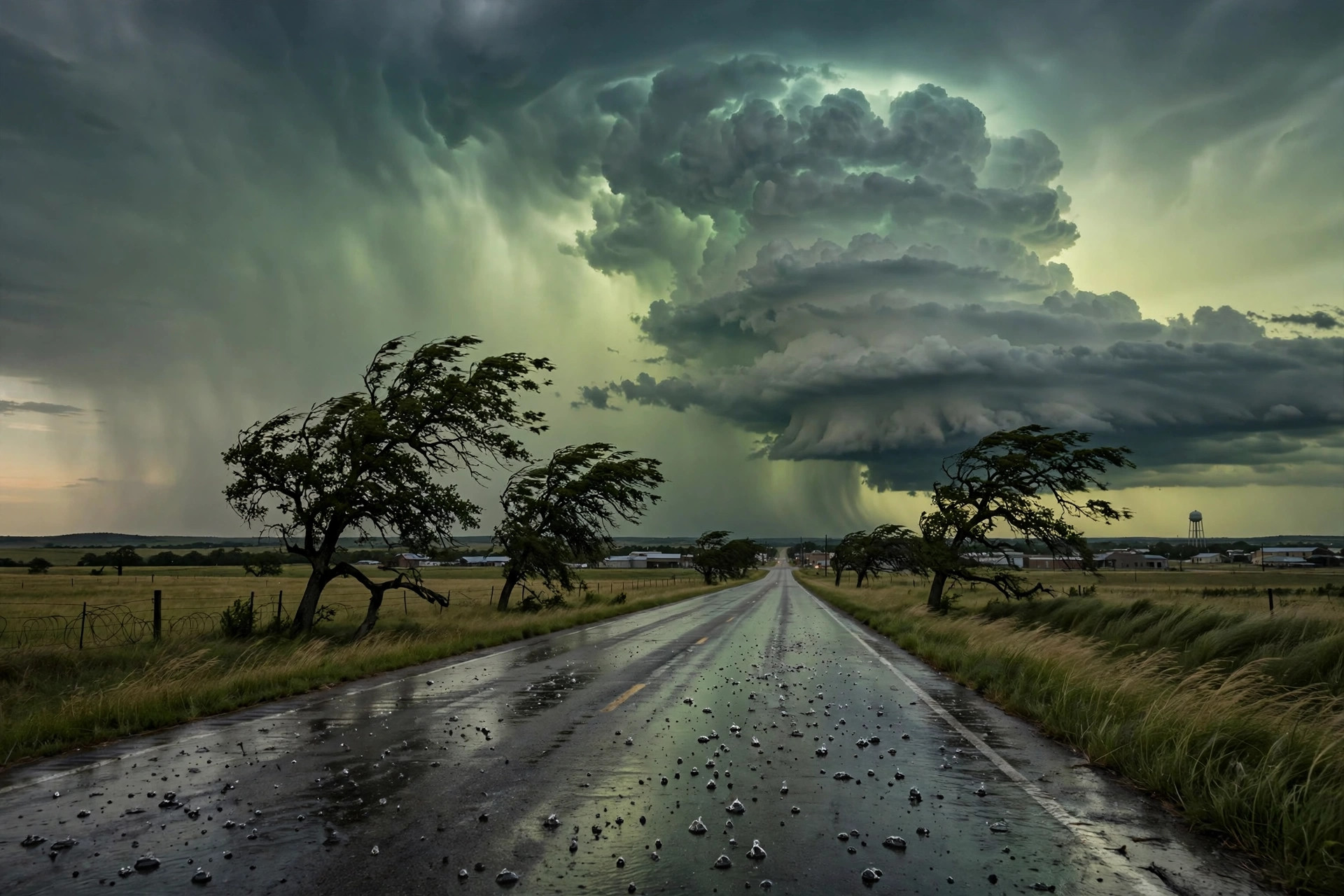
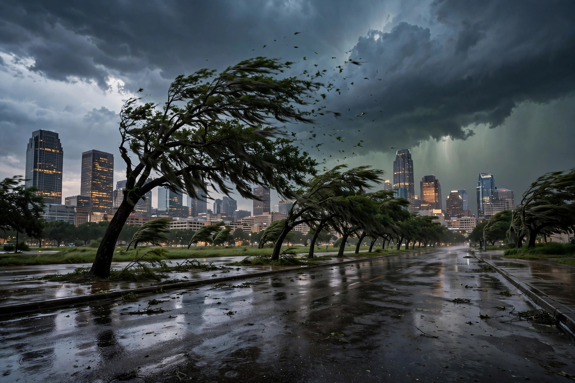
The storm system that flooded the Southwest is crossing North Texas tonight. Severe thunderstorms that rumbled to life Monday afternoon will continue overnight across the central and southern Plains, including Dallas–Fort Worth, with damaging winds as the primary threat and a few tornadoes also possible, CNN's updated Election Eve file reported.

FOX 4's Dallas forecast put the local numbers on it: storms that developed to the north and west late Monday afternoon move closer to the I-35 corridor by 10 p.m., with damaging wind gusts up to 60 miles an hour, hail up to the size of quarters and localized flooding also possible. The Tornado Watch issued by the National Weather Service in Fort Worth remains in effect until 11 p.m. for north central Texas, covering the Metroplex's western fringe counties; a special weather statement Monday evening tracked a strong storm near Albany, in Stephens County, with winds over 40 miles an hour and penny-size hail.
The Texas Flyover rated Dallas–Fort Worth at a slight risk of severe weather overnight — level 2 of 5 — with hail, localized flooding, damaging winds and brief tornadoes all in play. The station's own feed at 9:05 p.m. showed 77.1 degrees and overcast in Dallas, on a day that topped out at 84.1.
The timing matters because of what Tuesday is. FOX 4 expects the rain to move out of the immediate Metroplex by the early morning commute at 4 a.m., with temperatures falling from Monday's 85 to about 73 behind the cold front and strong northwest winds up to 25 miles an hour drying the region out. The station feed codes Election Day as rain (code 63) with a high of 77, a low of 57.2 and a 65 percent precipitation chance — a statewide picture CNN framed this way: eastern and coastal Texas will likely see rain moving west to east through the day, isolated severe storms are possible from eastern Texas into the Mississippi Valley, and voters could encounter ponding on roads even though the flooding threat is low.
So the Election Day split is geographic: voters in the eastern and southeastern counties may still see rain when polls open at 7 a.m. and could consider waiting until the afternoon, when the region dries out quickly behind the front, while the western Metroplex wakes to clearing skies. Wednesday, on the station feed, is dry and cooler — code 3, high 72.8, low 52.2, no precipitation.