A Tornado Watch Now Covers the Metroplex's Western Fringe Until 11 P.M. — Parker, Wise, Hood and Cooke Are In; Dallas and Tarrant Are Not
The National Weather Service in Fort Worth issued Tornado Watch 702 at 5:50 p.m. for 12 counties west and northwest of the Metroplex's core. The line everyone in Dallas and Fort Worth needs is the second one: their counties are not in it — but tonight's storm line is still coming east.
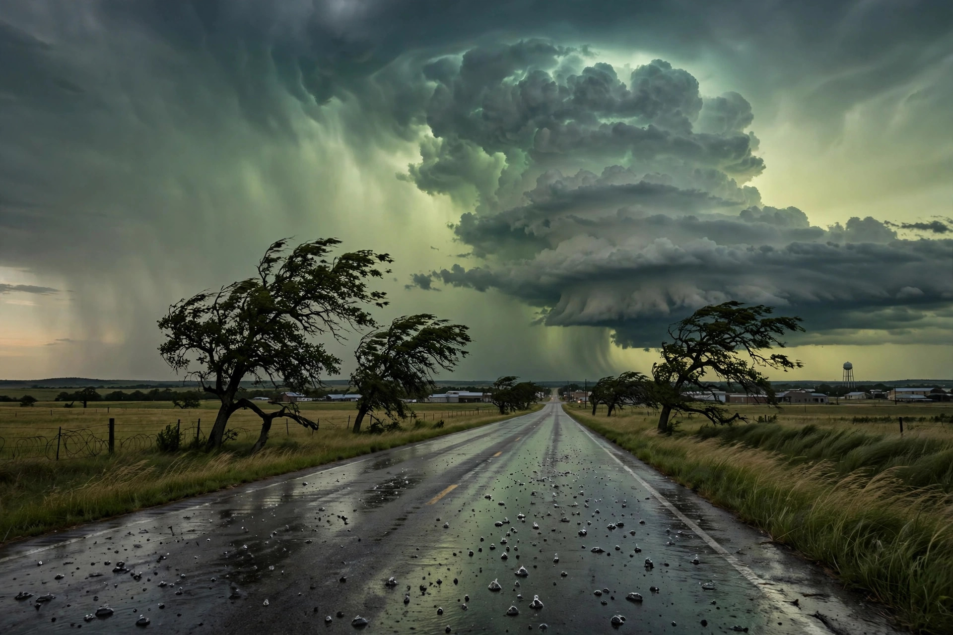
The National Weather Service office in Fort Worth issued Tornado Watch 702 at 5:50 p.m. Monday, in effect until 11 p.m. this evening, for 12 Texas counties: Comanche in Central Texas, and Cooke, Eastland, Erath, Hood, Jack, Montague, Palo Pinto, Parker, Stephens, Wise and Young in North Central Texas. The watch names Weatherford, Decatur, Granbury, Gainesville, Bowie, Bridgeport, Mineral Wells, Stephenville and Jacksboro among its cities — the Metroplex's western and northwestern fringe, where a tornado watch means conditions favor tornadoes forming inside tonight's storms, not that one has been seen.

Read the map both ways. Dallas County and Tarrant County are not in Watch 702, and neither is Denton or Collin — the watch stops at the fringe counties. That is a statement about where the evening's ingredients line up first, not an all-clear for the core: FOX 4's outlook still has tonight's storms developing north and west and reaching the I-35 corridor by about 10 p.m., with damaging wind gusts up to 60 mph as the primary threat, quarter-size hail and localized flooding possible, and the rain out of the immediate Metroplex by the 4 a.m. commute. A watch box can also be extended or a new one issued as the line organizes, which is why the 11 p.m. expiration is a checkpoint, not a promise.
The station's live feed, read early Monday evening, held the core's own numbers steady: 76.9 degrees and clear at the read, Monday's high 84.1 behind us, and Election Day coded back to heavy rain (code 65) at a 65 percent chance, high 75.5, low 56.3 — before Wednesday turns dry at 75.2 with no rain in the feed. For the fringe counties, the next four hours are the window: charge the phones, know the interior room, and treat any warning — a step above a watch — as the order to move. For Dallas and Fort Worth, tonight remains a wind-and-rain line arriving late, on the eve of an Election Day that starts wet and dries out.