The Storms Moved Up: Severe Risk Monday Night in Dallas–Fort Worth, Then Election Day Clears by Midday
The line this station had parked on Election Day now arrives Monday night — a slight severe risk, 1.5 to 2 inches of rain in the heaviest spots, and a Tuesday that clears well before the afternoon vote.
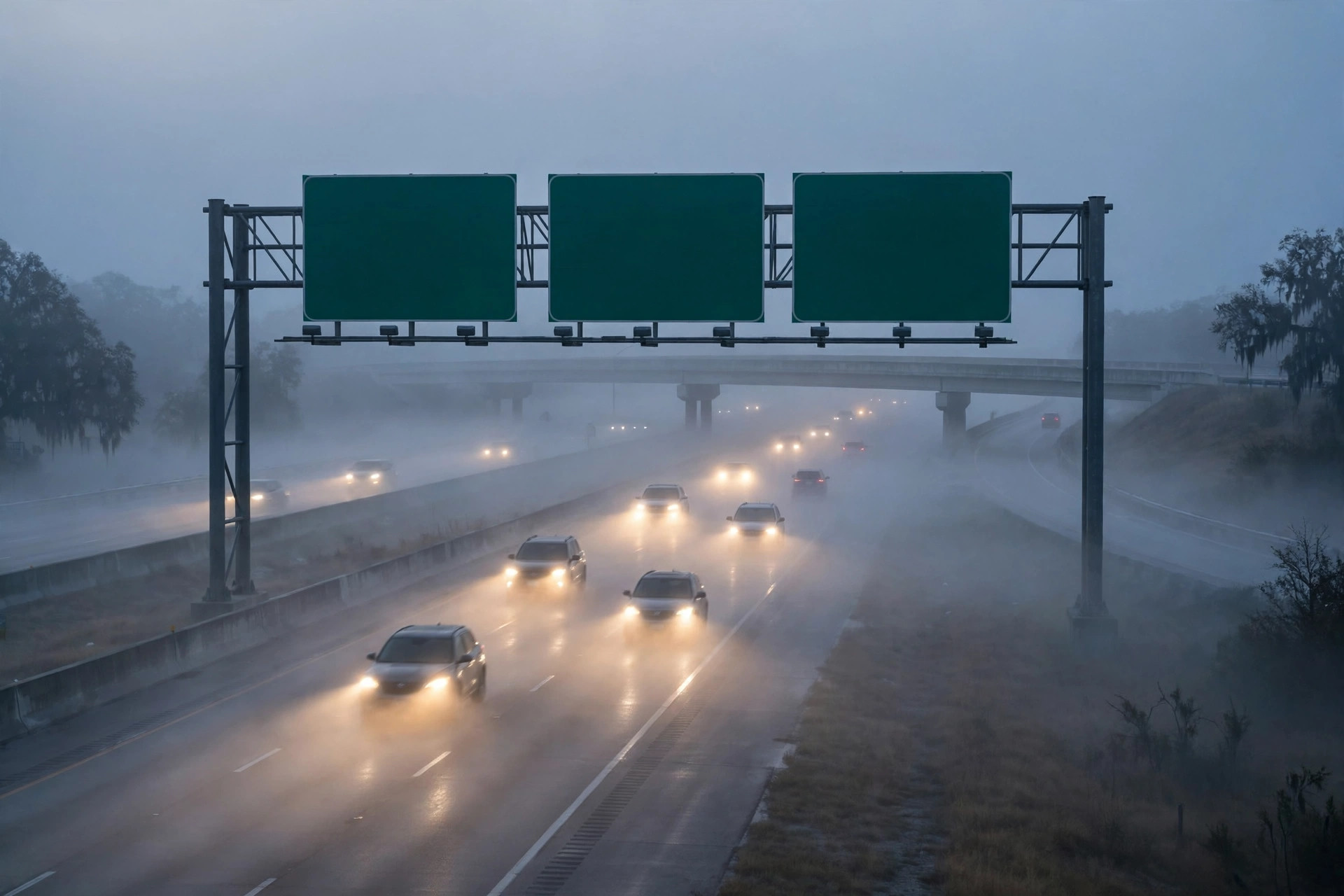
Sunday's fog was the quiet before a faster week. The National Weather Service's dense fog advisories ran from the Panhandle through East Texas — Rockwall, Kaufman and Hunt counties east of Interstate 45, expiring at 10 a.m. — and while the metroplex sat just outside the formal advisory, saturated air and low cloud cut visibility across Dallas–Fort Worth, FOX 4 reported. This station's live feed read 62.4 degrees and overcast at about 9:10 a.m., on the way to a Sunday high of 78.9 with only a 3 percent rain chance — dry for the noon kickoff in Arlington.
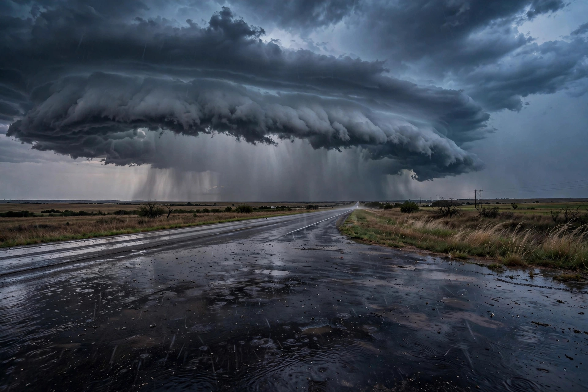
The change is Monday. A low-pressure system over the Four Corners moves east and drags a cold front across Texas, and the main squall line now arrives Monday night into early Tuesday — a day earlier than the Election Day timing in this morning's files. The station feed puts Monday at thunderstorms (code 95) with a high of 74.9 and an 89 percent rain chance. The Storm Prediction Center has much of North Texas under a slight risk (level 2 of 5) to marginal risk (level 1 of 5) for severe weather along the front's leading edge, FOX 4 reported: the primary hazards are damaging straight-line winds, frequent lightning and hail, with the potential for brief tornado activity, and localized downpours of 1.5 to 2 inches favored for the metroplex and eastern counties. Rain coverage runs about 20 percent Monday afternoon, 60 percent Monday night, and diminishes to 30 percent by Tuesday afternoon.
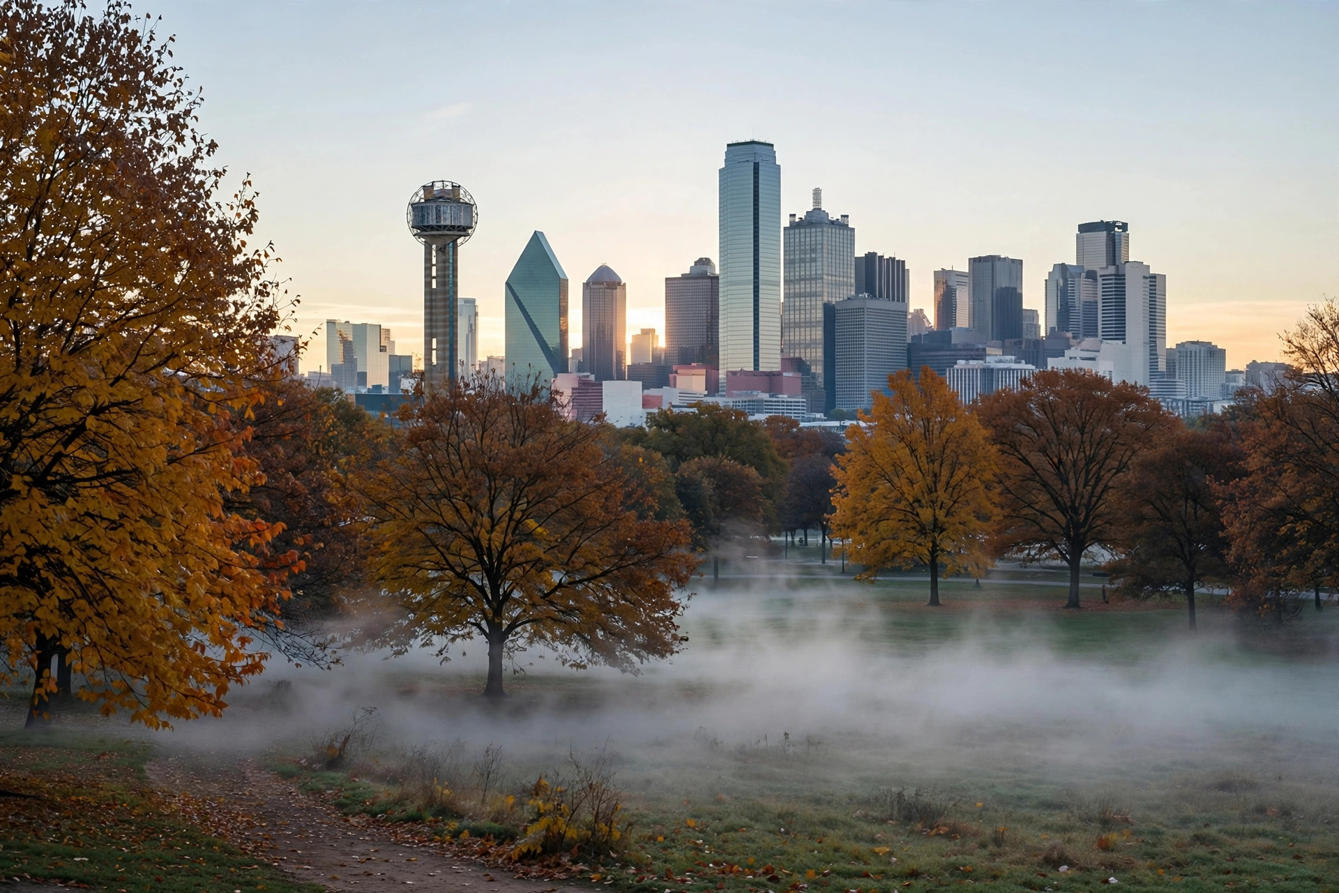
That timing is, unexpectedly, good news for voters. Election Day itself is now projected to clear well before midday, FOX 4 reported, with afternoon temperatures in the low-to-mid 70s under clearing skies — the station feed has Tuesday overcast early, a high of 73.9 and a low of 58.4 behind the front. Wednesday is the week's standout, mostly sunny in the mid-70s, before a secondary front late Thursday pulls Friday's highs into the upper 60s and lower 70s, and a clear, seasonable weekend follows with lows in the 50s. The plan for North Texas writes itself: secure what's loose on Monday, expect a loud Monday night, and vote Tuesday in the clear.